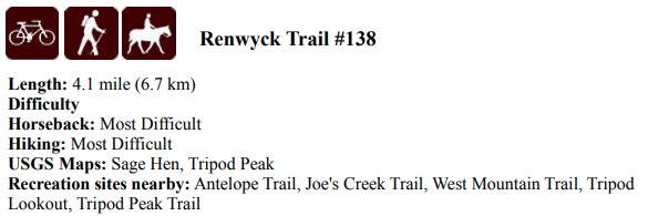
|
Details
- Start:
- Either day trips or campingt at Renwyck TH
- Area
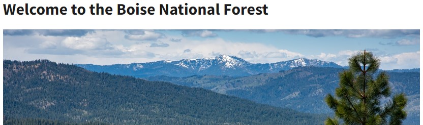
- Boise National Forest
- Region
- West Mountain Ola, Idaho
- Project
Type
- General Trail Maintenance
- Ride
Difficulty Rating
- 3 - Difficult - Technicial & Steep at times
- Work
Difficulty Rating
- 3 -
Down Tree removal & Brushing, minor tread work.
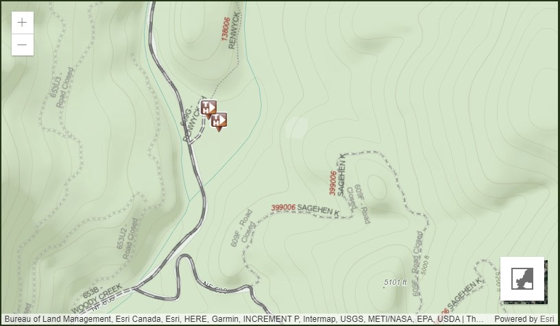
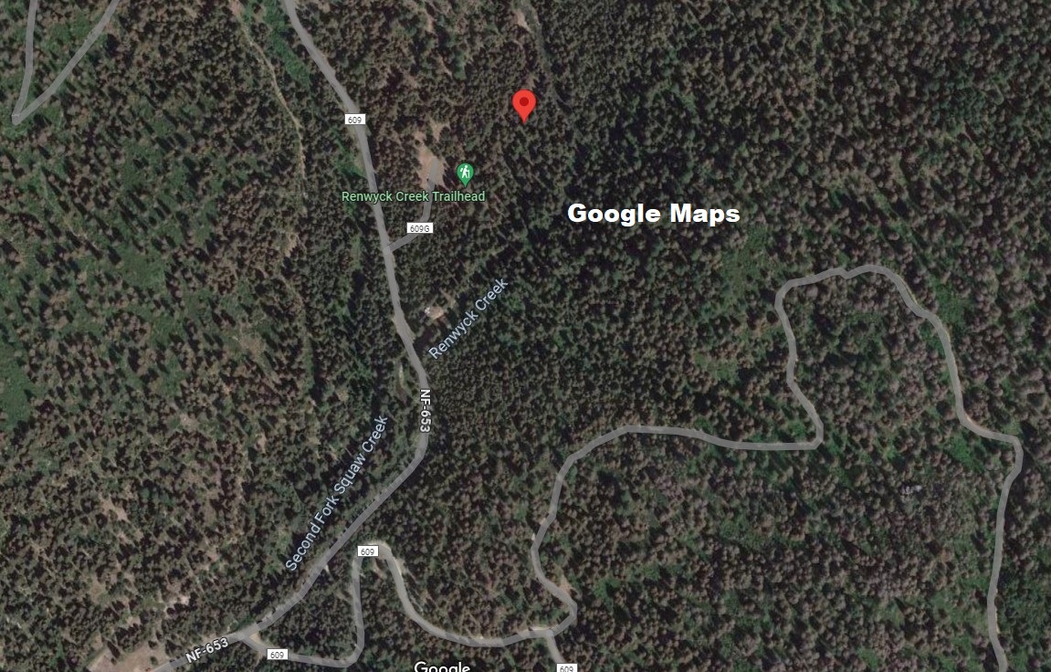
GPS:
44.368960 -116.194706 Elevation: 4716 TH
Access:
To reach the trail, travel north from Ola approximately 10.3 miles on NF-618. Take a
right on NF-653 and travel approximately 10.3 miles to its junction with NF-609. Take a
right on NF-609 and travel approximately 3.1 miles. Turn left into an undeveloped
recreation site just before crossing Renwyck Creek. There you will find the trailhead. |
|
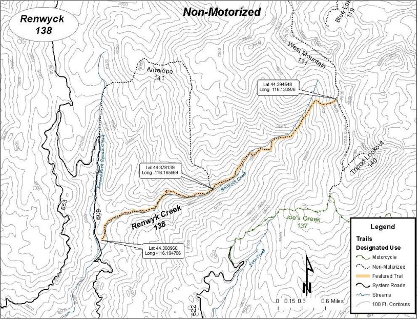
Attractions and Considerations
The trail travels through dense stands of Grand Fir on the west side of Renwyck Creek.
After it crosses the creek, it starts a series of switchbacks as it ascends through several
Englemann Spruce bogs to the ridge between the North Fork of the Payette River and
Squaw Creek. Once up out of the bottom, views of the drainage and hills to the west are
impressive. The trail terminates at its junction with the West Mountain Trail.
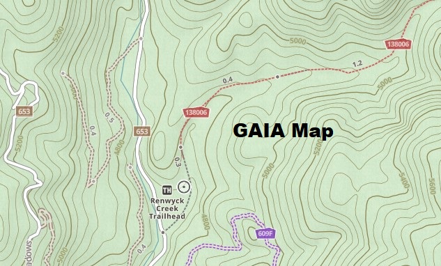
MAP
|
 |
 |
Trail Beginning
Elevation: 4877 ft
The trailhead is located on NF-653, 2.0 miles north of Antelope Swale. The trailhead is
signed.
MAP
|
Attractions and Considerations
The trail passes through conifer forests, high meadows and open areas. There are
panoramic views of West Mountain and the Squaw Creek drainage. Flora and fauna are
abundant in the area. Wild flowers can be seen throughout most of the year. Elk, deer and
bear are common. The trail is not maintained on a regular schedule. The trail may be hard
to locate due to livestock use. The trail starts next to National Forest Road 653 (NF-653).
The trail follows a small creek upslope for about ½ to ¾ of a mile. From the creek the
trail follows the ridge top east, then turns south and drops down into Antelope Creek. The
trail crosses Antelope Creek, continues south and crosses the south fork of Antelope
Creek. It then follows the ridge south until the trail intersects with Renwyck Trail.
The intersection at Renwyck Trail is unmarked. The trails are well used and easy to see.
SIGN UP: Squaw Butte Event
Registration System
|
| Pictures TRAIL HEAD PAST PROJECT |
Project Leader: projects@sbbchidaho.org |