
Details - Pack-in & Pack-out (PUG)
- Wednesday July 10, 2024 - Pack-In
- Saturday July 20, 2024 - Pack-Out
- Area : Sawtooth Wilderness
- Region: Atlanta, Idaho
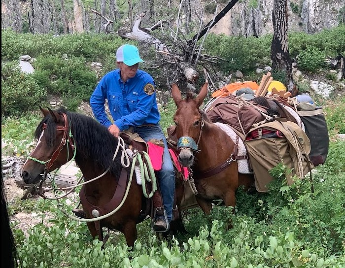
- Project Type: Pack Support
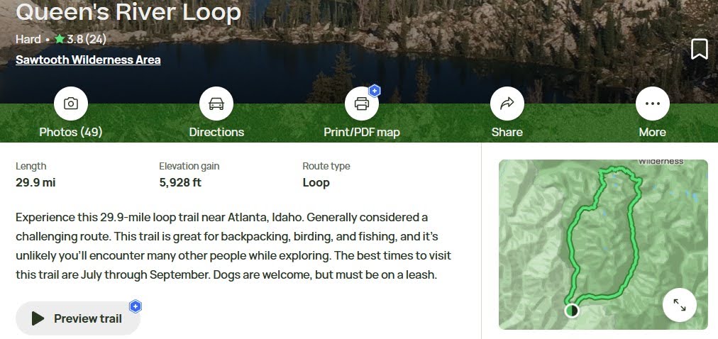
- Ride Difficulty Rating
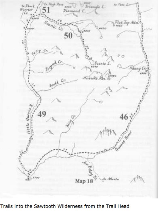
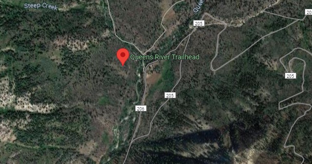
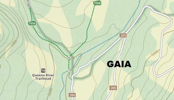
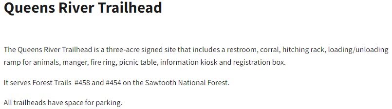
Queen`s River Campground is near Atlanta. 4 campsites on the Middle Fork of the Boise River. North of the campground, at the end of Forest Road 206, is a trailhead which enters the Sawtooth Wilderness and following the Queens River. Trailhead west of the campground, along Eagle Creek, connects to Black Warrior Trail, a multiuse trail which heads north. 43.82111 -115.2093 Elv 5000
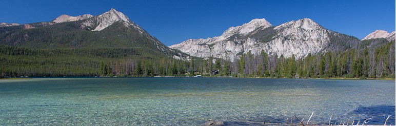
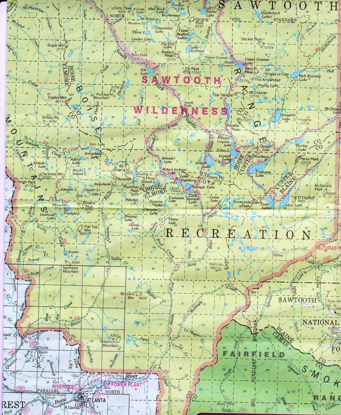
The Sawtooth Mountains have an embarrassment of riches, including colorful fields of wildflowers, jagged granite peaks, and gorgeous, high-elevation lakes. This loop trip explores the southwest part of the range and includes a nice sampling of all these wonderful qualities. In addition, it takes you through the impressive depths of the lower Queens River Canyon, a spectacular rocky chasm that features scenery not normally associated with a high mountain wilderness. Because this hike avoids the most famous attractions in the Sawtooth Wilderness, visitors here enjoy a much higher degree of solitude than in the better-known and more accessible parts of the range.
Follow Highway 21 north from Idaho City to the turn off for Edna Creek Campground (east) around 18 miles, onto Forest Road 384. Look for signs for Atlanta at each junction. At 13.7 miles turn left (east) along the North Fork of the Boise River road [FSR-327]. At 26.6 miles turn left again at a four-way intersection onto Middle Frok of the Boise River Road [FSR-268], and drive to the Queens River road [FSR-206] at 36.5 miles. Here turn left (north) and drive to the transfer camp at 39 miles. The informal camping area is just past the parking area.
MAP Queens River.PDF
SIGN UP: Squaw Butte Event Registration System